—————————————————-
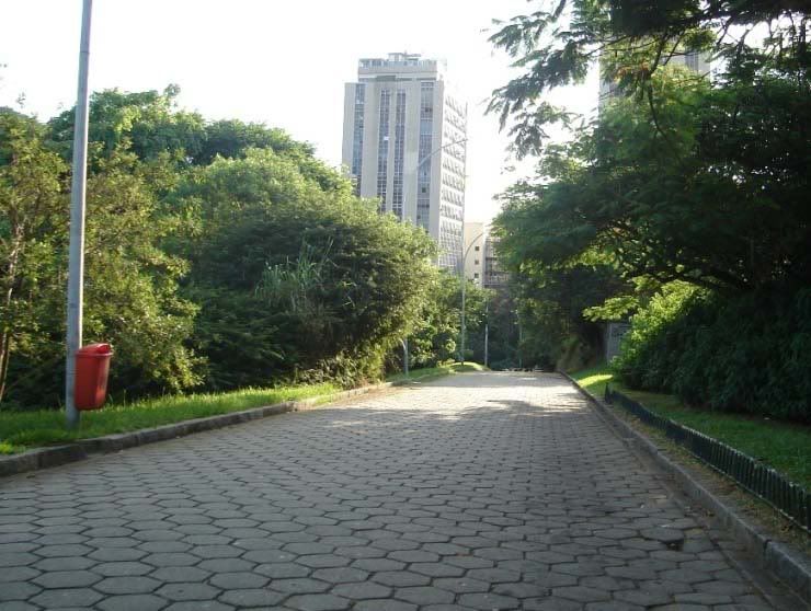
01- Copacabaca sidewalk pattern imitation:
02- West side hill construction:
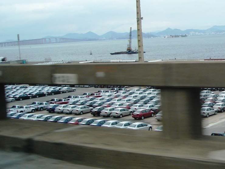
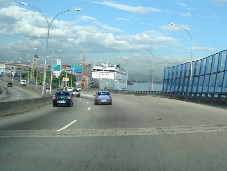
03- New cars for export in the port (Rio is Brazil’s 2nd largest port):
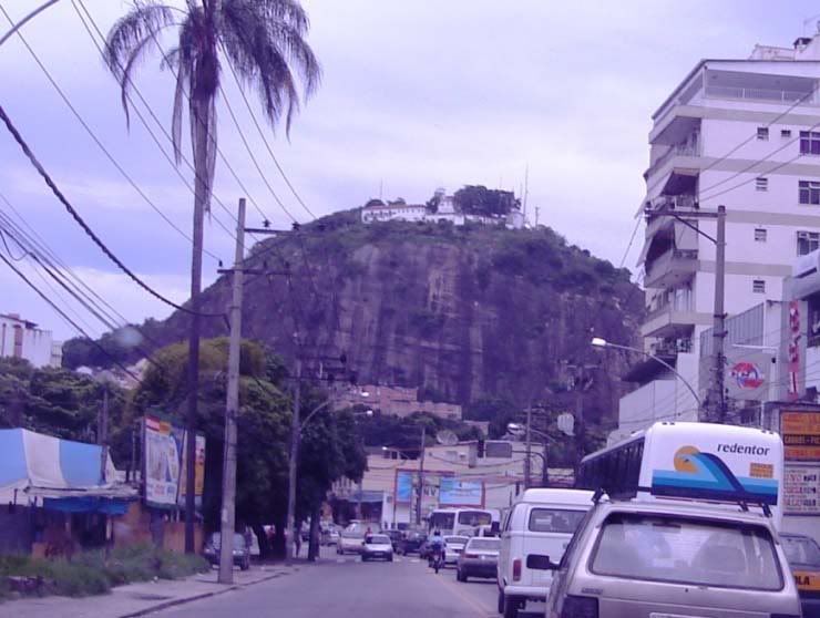
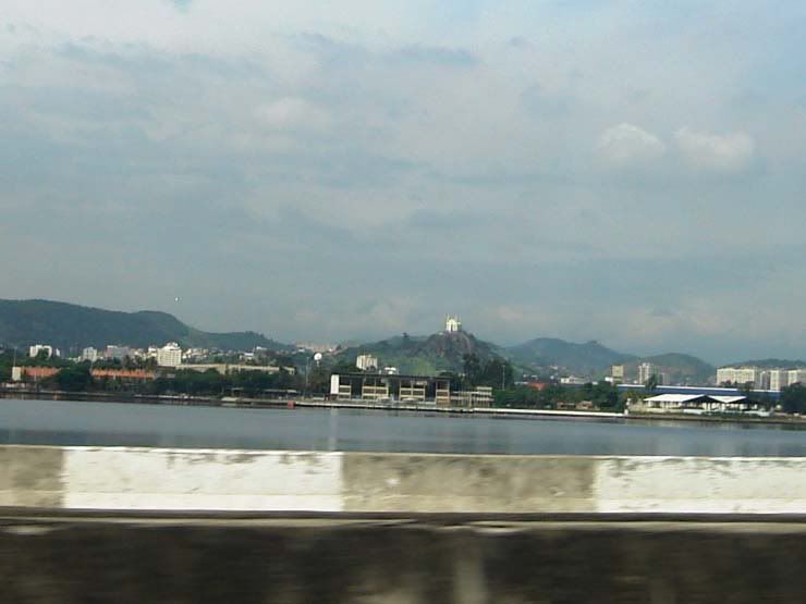
04- Penha Church on top of hill:
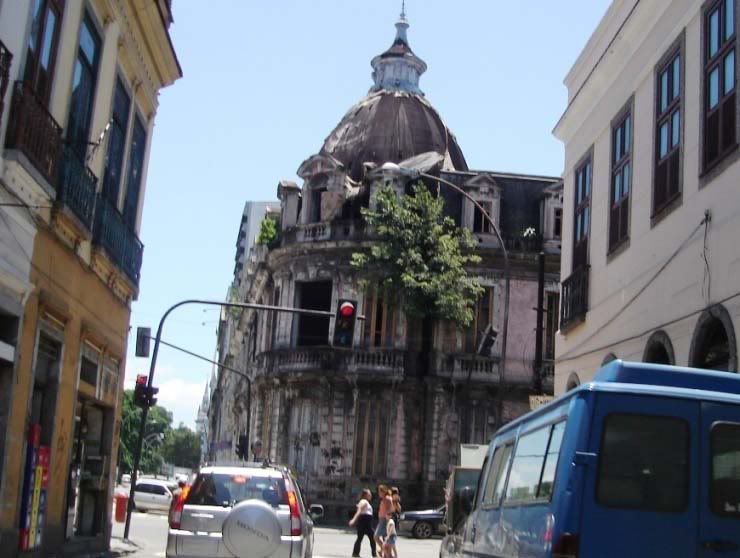
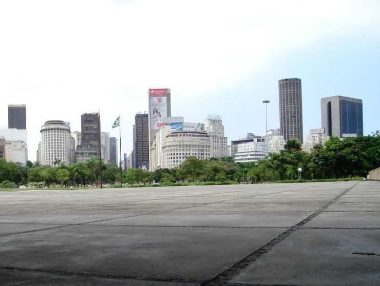
05- Abandoned historical building, downtown:
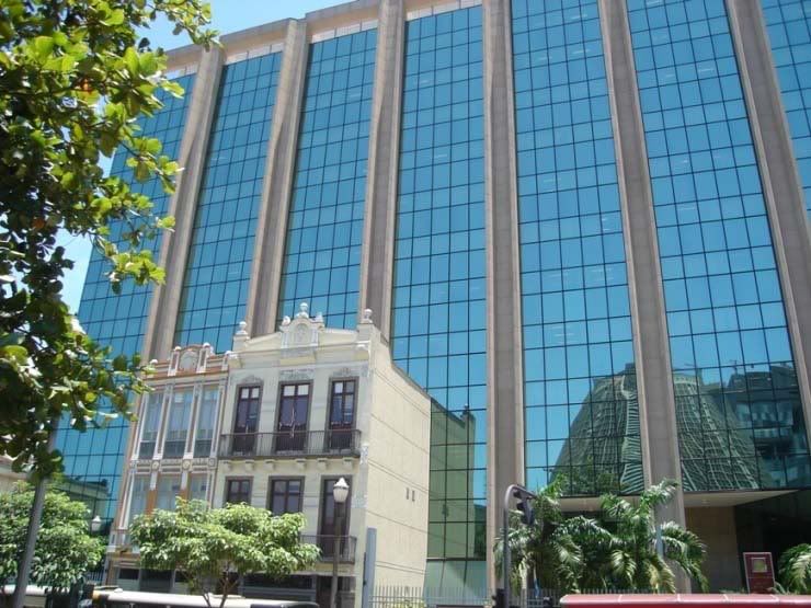
06- Labor Justice Building built over historical houses, so as to preserve them:
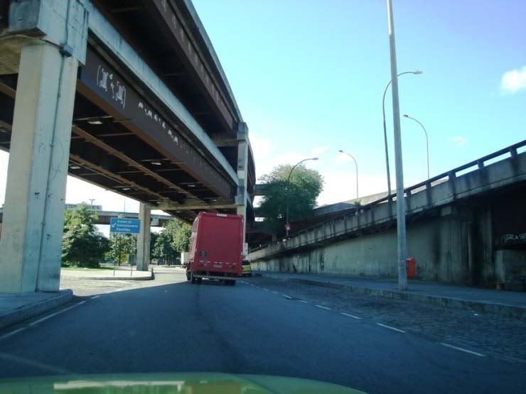
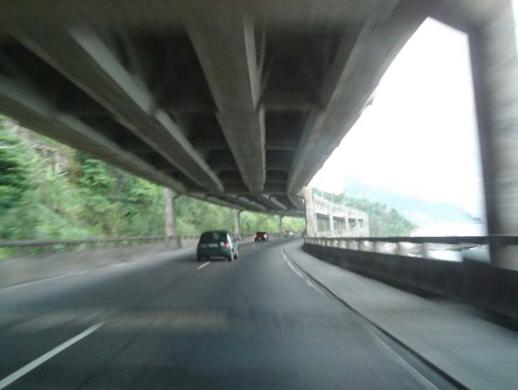
07- Two-level elevated express way in São Cristóvão:
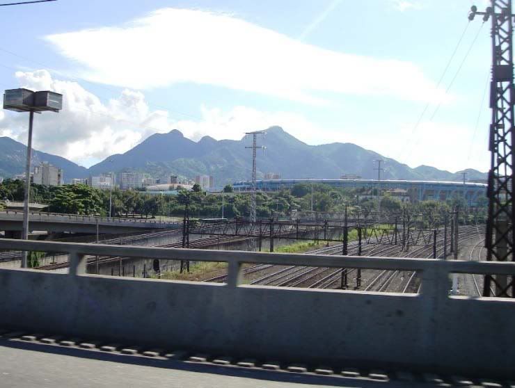
08- Metro lines, Maracanã stadium and mountains:
09- Elavated along the port:
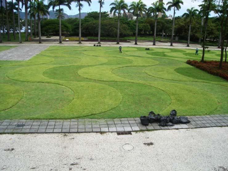
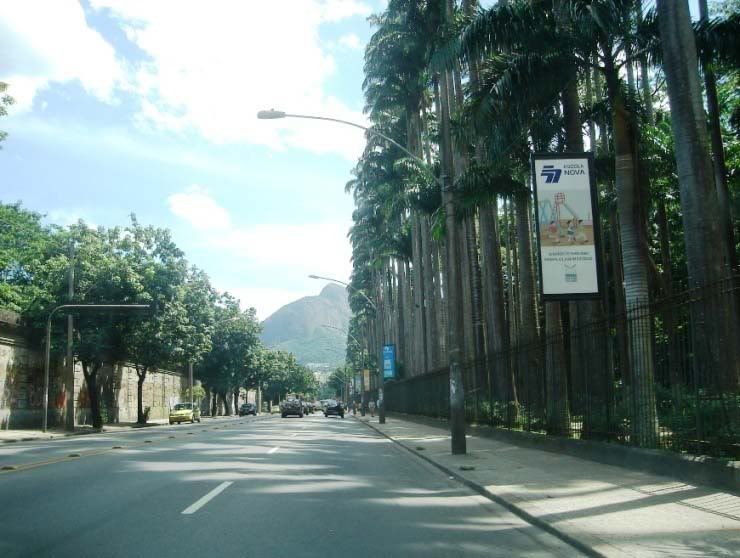
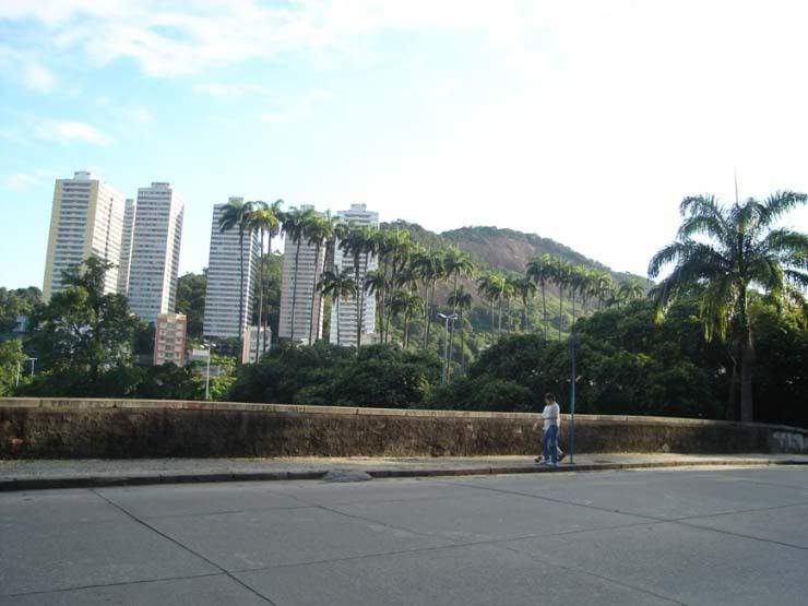
10- Botanical garden palm trees:
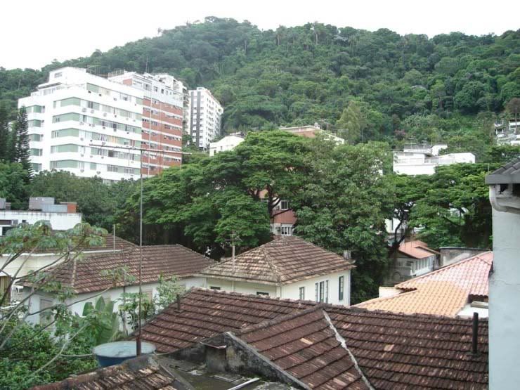
11- West side hills:
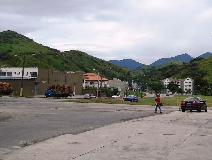
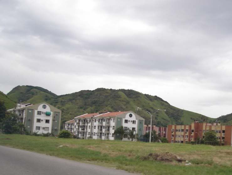
12- Housing project near West Side hills:
13- Above this driveway there is another; below, the mountains meet the ocean:
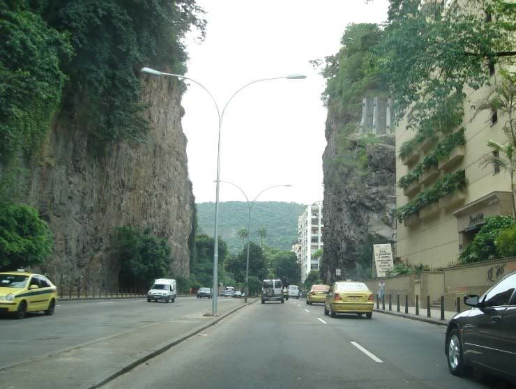
14- Hill cut in half for avenue (Laranjeiras district):
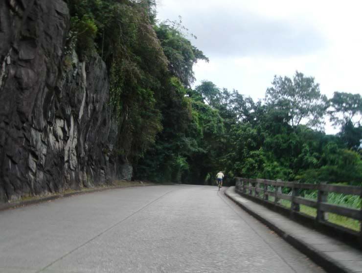
15- Path to Mirante do Pasmado, in Botafogo (1):
16- Path to Mirante do Pasmado, in Botafogo (2):
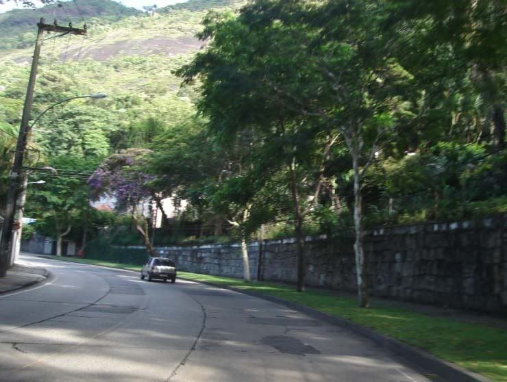
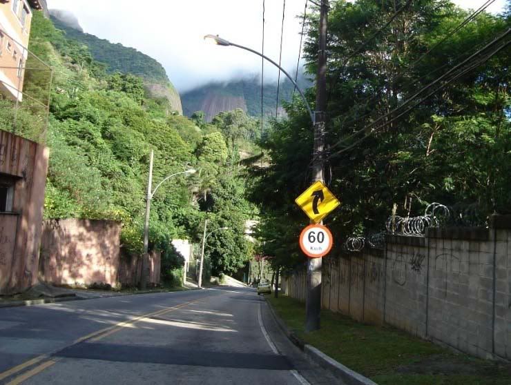
17- Path to the Christ Redeemer (1):
18- Path to the Christ Redeemer (2):
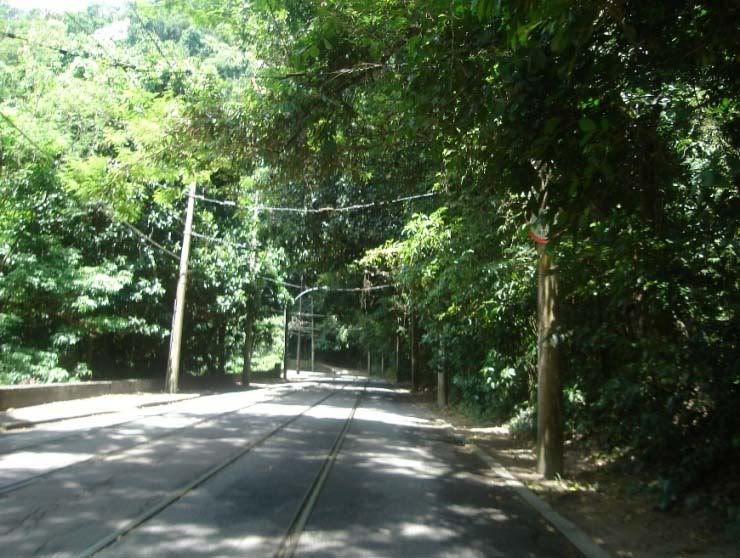
19- Road across Tijuca Urban Forest (1):
20- Road across Tijuca Urban Fores (2):
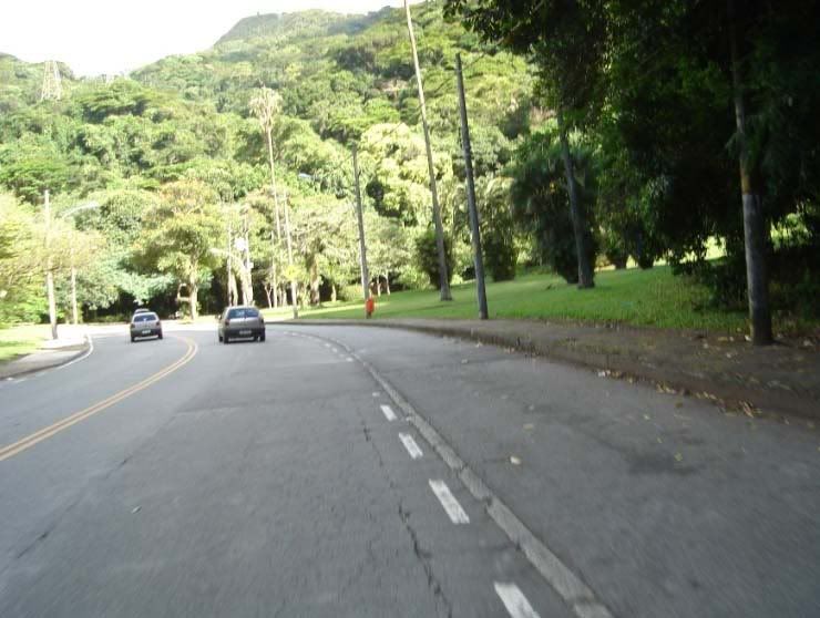
21- Road across Tijuca Urban Fores (3):
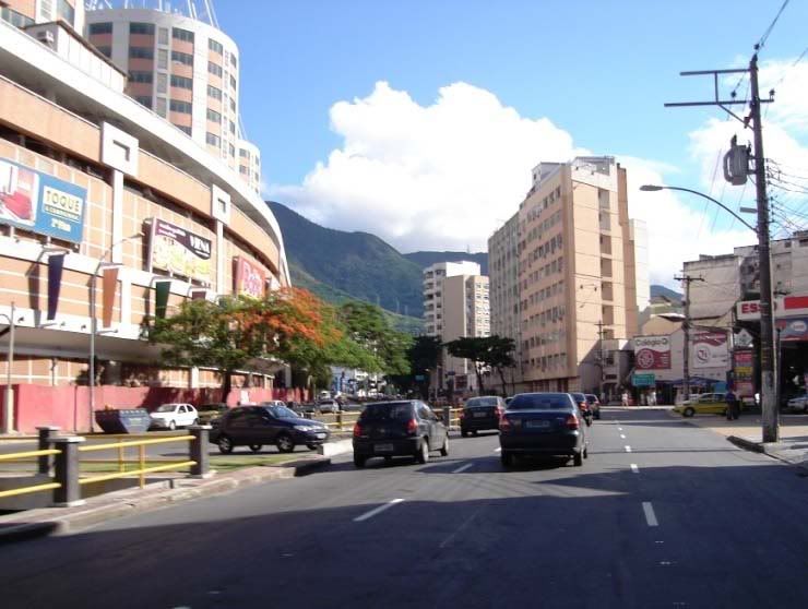
22- To the left, Tijuca Shopping Mall:
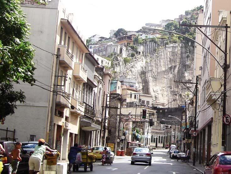
23- COnstructions on a split rock:
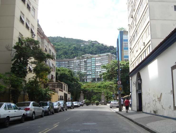
24- Entrance to Guinle Park, upper class condos:
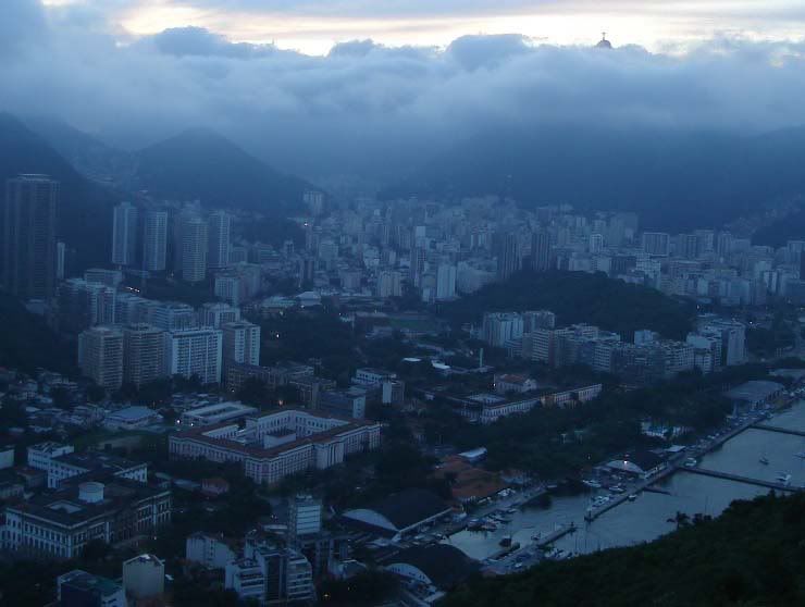
25- Flamengo district:
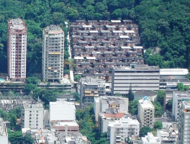
26- Buildings on a hill in Gávea:
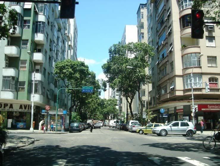
27- Internal street in Copacabana. Dense neighborhood:
28- Mirante Dona Marta, near the Christ statue:
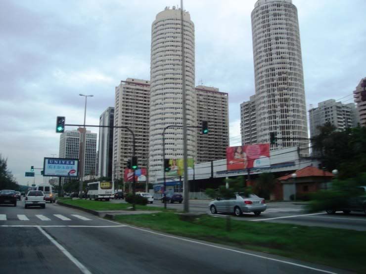
29- Barra da Tijuca condos.
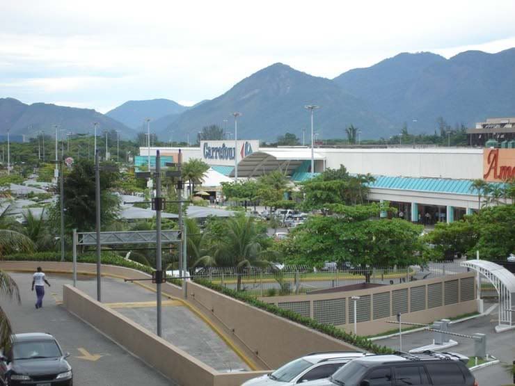
30- Barra da Tijuca Carrefour:
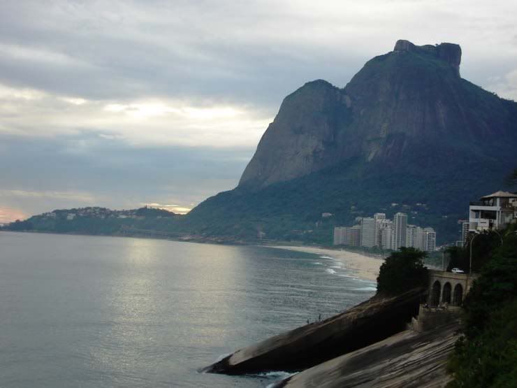
31- Gávea Rock:
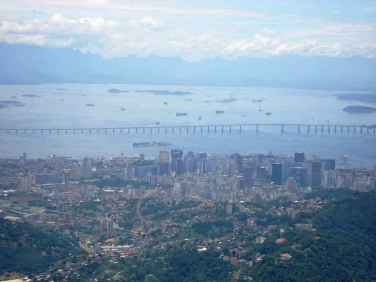
32- Picture taken from the Christ statue. View of center and Rio-Niterói bridge, ships and the Petrópolis e Teresópolis mountains:
33- Taken from Urca Hills (smaller rock near the Sugar Loaf). View of the Botafogo district. Above, the Christ:
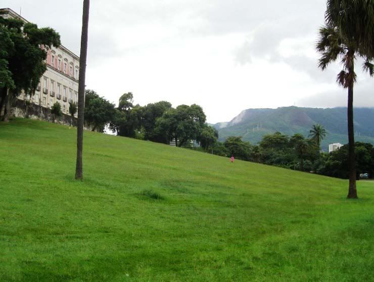
34- Quinta da Boa Vista gardens, park where the National Museum and the Zoo are:
35- Taken from the Sugar Loaf:
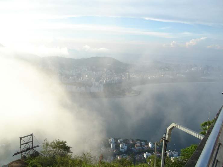
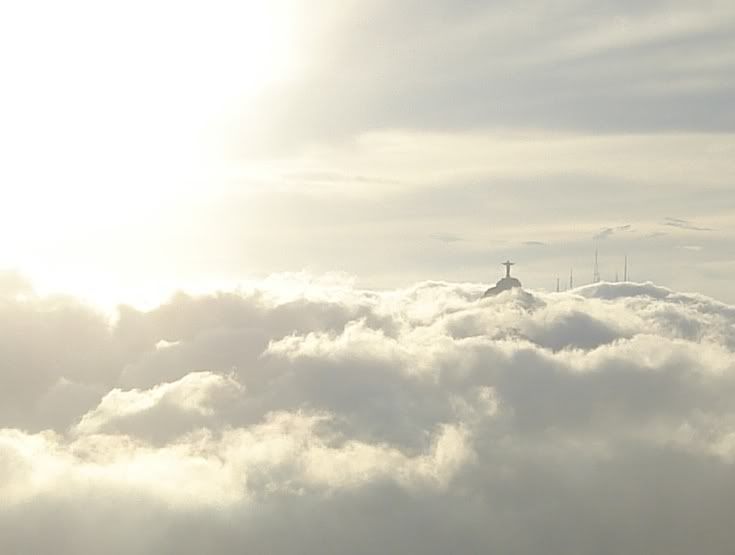
36- The Christ above the clouds: